NexGIS is a modern geospatial platform enabling real-time monitoring, analysis, and immersive VR visualization.
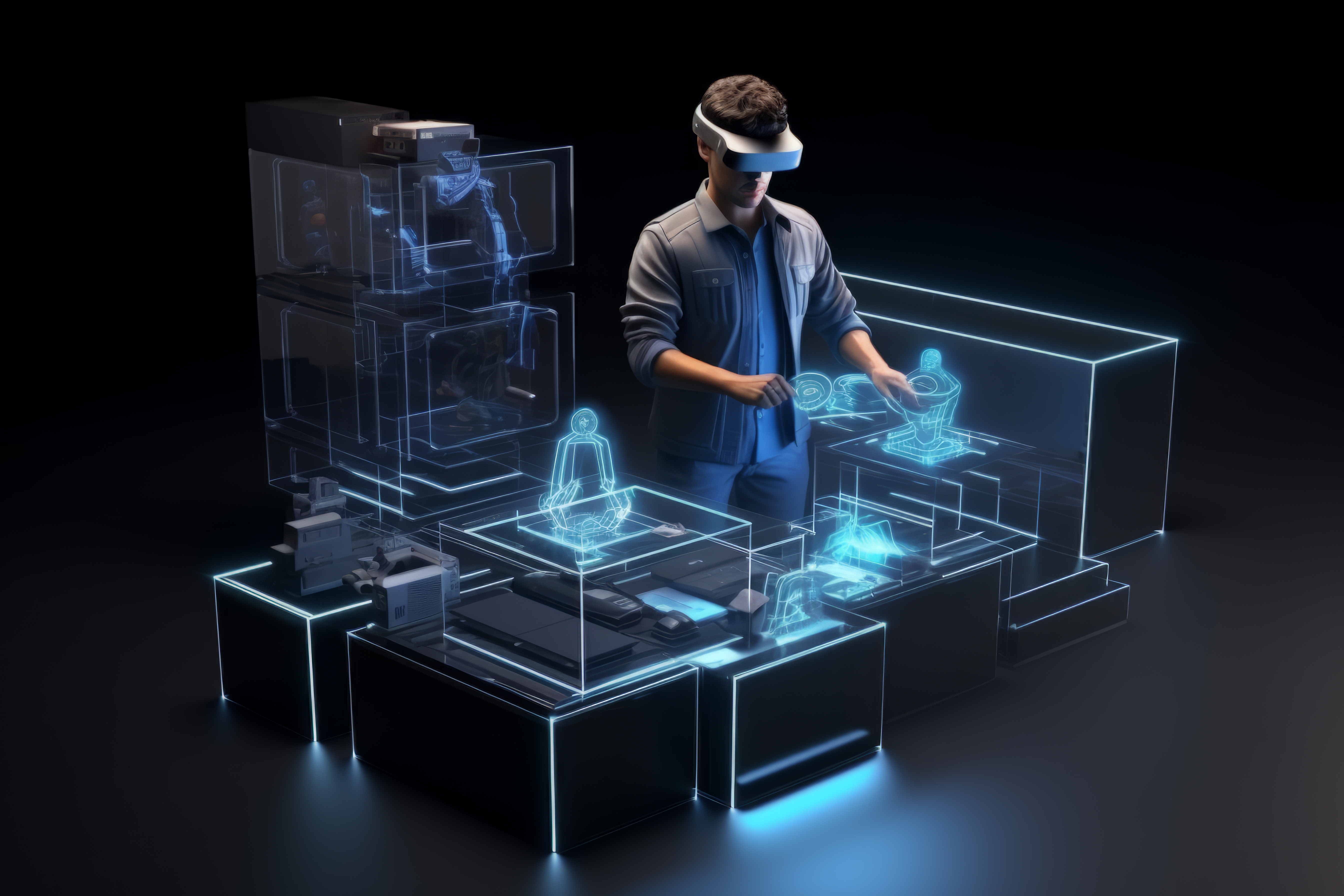
At NexGIS, we envision a geospatial future that is intelligent, immersive, and accessible to all. By harnessing AI, Voice Interaction, and Virtual Reality, we eliminate the complexity of traditional mapping and create a seamless way for people to connect with the Earth.
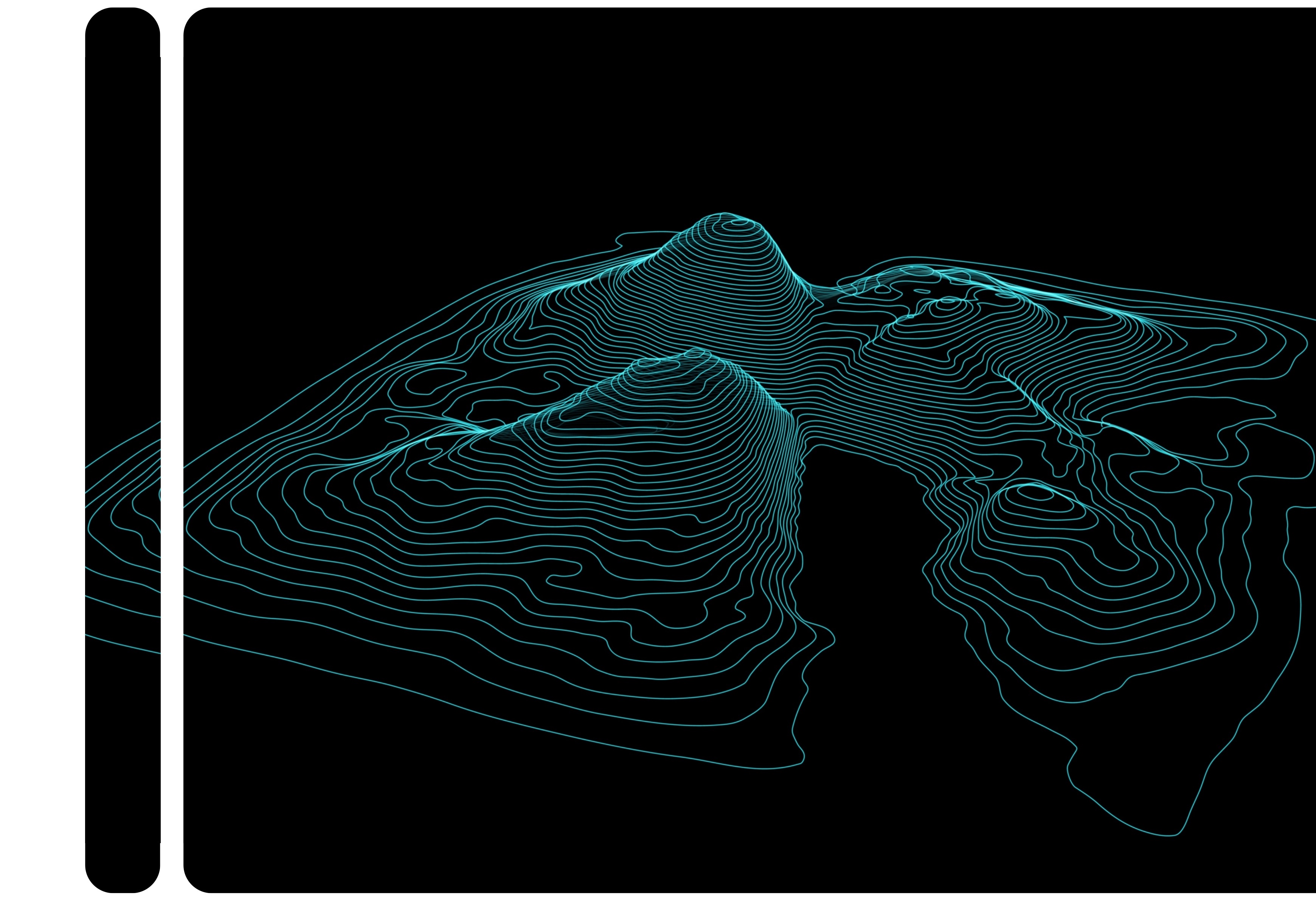
Dynamic 2D/3D maps with layer control and live sensor overlays.
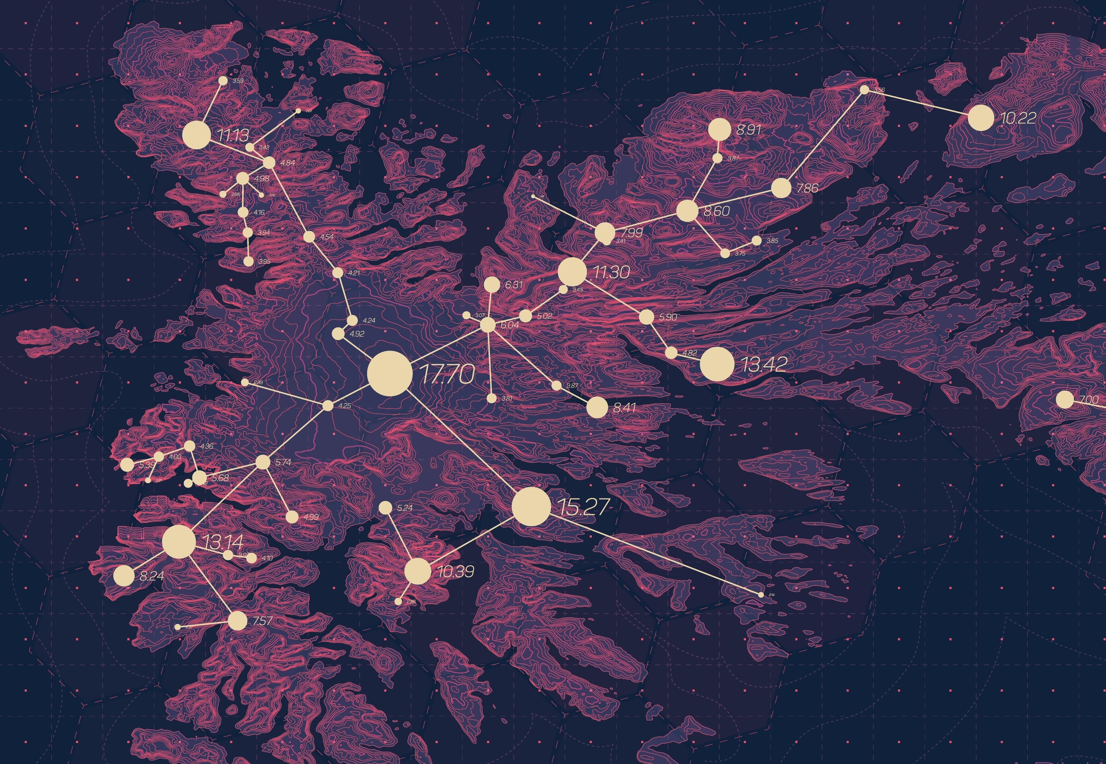
Automated pattern detection, land classification, and predictive alerts.
Connect live sensors and monitor environmental and urban parameters in real-time.
Sign up for a demo and explore how NextGIS can transform your spatial data into actionable insights.